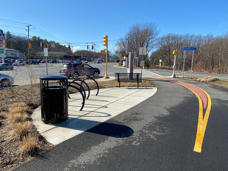
Twin Cities Rail Trail
Glacial boulders, Egyptian mummies, and the birthplace of the pink flamingo
A 4.1-mile paved trail connecting Fitchburg and Leominster in north-central Massachusetts. From the Rollstone Boulder glacial erratic to the birthplace of the plastic lawn flamingo, two former industrial cities reveal their creative reinvention.
- Length
- 4.3 mi
- Time
- 28 min
- by bike
- Stops
- 5 stops
- plus 4 bonus
Starts at Twin Cities Trail — North End, ends at Historic Leominster Train Station · Directions
Unlock the Twin Cities badge
The route, stop by stop
On this route:Twin Cities Rail Trail· 3.8 mi
Numbered pins are the stops; gold rings are optional detours.
Ride it with Shift, free
A map of the route, directions to each stop in your maps app, and automatic check-in when you arrive. Finish to unlock the Twin Cities badge.


Stop 1: Twin Cities Trail — North End
Start
The Fitchburg trailhead at the north end of the Twin Cities Rail Trail
About this stopNext: Bike to Twin Cities Trail — Midpoint
1.6 mi · 11 min
1.4 mi separated path0.2 mi on streets
Stop 2: Twin Cities Trail — Midpoint
The midpoint of the Twin Cities Rail Trail near the Fitchburg-Leominster boundary
About this stopNext: Bike to Twin Cities Trail — South Section
1.2 mi · 8 min
1.2 mi separated path
Stop 3: Twin Cities Trail — South Section
The southern section of the trail approaching Leominster center
About this stopNext: Bike to Carter Park
1.3 mi · 8 min
1.2 mi separated path
Stop 4: Carter Park
Leominster's central park near the flamingo crosswalks celebrating Don Featherstone's 1957 invention
About this stopNext: Bike to Historic Leominster Train Station
0.2 mi · 1 min
Stop 5: Historic Leominster Train Station
Finish
An 1878 station in the city that went from Comb City to the Plastic Capital of the World
About this stop
Bonus stops
Optional detours near the route, worth the extra few minutes.
Rollstone Boulder
A 110-ton glacial erratic rescued from quarrying in 1930 and reassembled at its present location
About this stopFitchburg Art Museum
A museum housing an Egyptian collection including a mummy, plus American and European art
About this stopCoggshall Park
A 350-acre park with an 8-acre swimming lake, trails, and a disc golf course
About this stopDoyle Conservation Area
170 acres with 1.5 miles of accessible trails through mixed forest and wetlands
About this stop
Getting there
How it works
A roam is a self-guided route you follow at your own pace in the free Shift app.
Follow the route
Open this roam in the Shift app and follow it at your own pace.
Check in at each stop
The app checks you in when you arrive. No scanning, no codes. Visit all 5 stops and the roam is complete.
Unlock the Twin Cities badge
Finish the roam and the Twin Cities badge is yours. Finish all 0 routes in the MassTrails 10 for a bonus badge.
Part of the MassTrails 10. Finish all 0 routes to unlock the Trail Master badge.